Our Toughest Hike Yet
Grintovec (2,558 m) is the highest peak of the Kamnik–Savinja Alps in Slovenia, attracting hikers with its breathtaking panoramas and authentic mountain atmosphere. For those seeking an unforgettable climb, here's a complete guide to the route — packed with practical tips and our personal impressions.
Preparation and Gear
Before setting out, make sure to check the weather — conditions in the Kamnik–Savinja Alps can change rapidly. Don't forget sturdy hiking boots, layered clothing suitable for mountain conditions, plenty of water, some high-energy snacks, and, if you prefer, a pair of trekking poles.

Routes to the Summit
We started our hike from Kamniška Bistrica, specifically from the parking area near Dom v Kamniški Bistrici. From there, the trail to Grintovec follows a well-marked red hiking route that safely guides you all the way to the summit.
Along the way, you'll come across Cojzova Koča, a mountain hut located roughly halfway up the trail. It's the perfect spot for a short rest, a snack, or to recharge before the final climb. As we'll describe later, this hut can truly become a lifesaver in case of sudden bad weather or other unexpected mountain situations — offering shelter when you need it most.
Continuing along the red trail, you'll eventually reach the summit of Grintovec, where a breathtaking panorama of the Kamnik–Savinja Alps unfolds before you.
Time and Difficulty
The ascent to Grintovec takes around 4–6 hours, depending on your pace and chosen route, while the descent usually takes 3–4 hours. The trail is of moderate difficulty, with some steep sections that require extra caution — especially in wet or snowy conditions.
That said, these estimates apply if no complications arise!
Practical Tips
-
Start your hike early in the morning to avoid potential afternoon storms.
-
Take advantage of mountain huts along the way for rest and refreshments.
-
Don't forget your camera — the panoramic views from the summit of the Kamnik–Savinja Alps are absolutely breathtaking and a must to capture.
Our Grueling Ascent
When our four-person group was planning a road trip through Slovenia, the original plan was to climb the country's highest peak — Triglav. Unfortunately, the weather forecast offered only one sunny day in the mountains. Since attempting Triglav in a single day would have been too challenging for our group, we decided on Plan B: tackling Grintovec instead.
Grintovec is the highest peak of the Kamnik–Savinja Alps in Slovenia and can be conquered in a single day. We set off early in the morning, already suspecting that the forecast of a "sunny day" might not be entirely accurate. Still, we decided to push ahead.
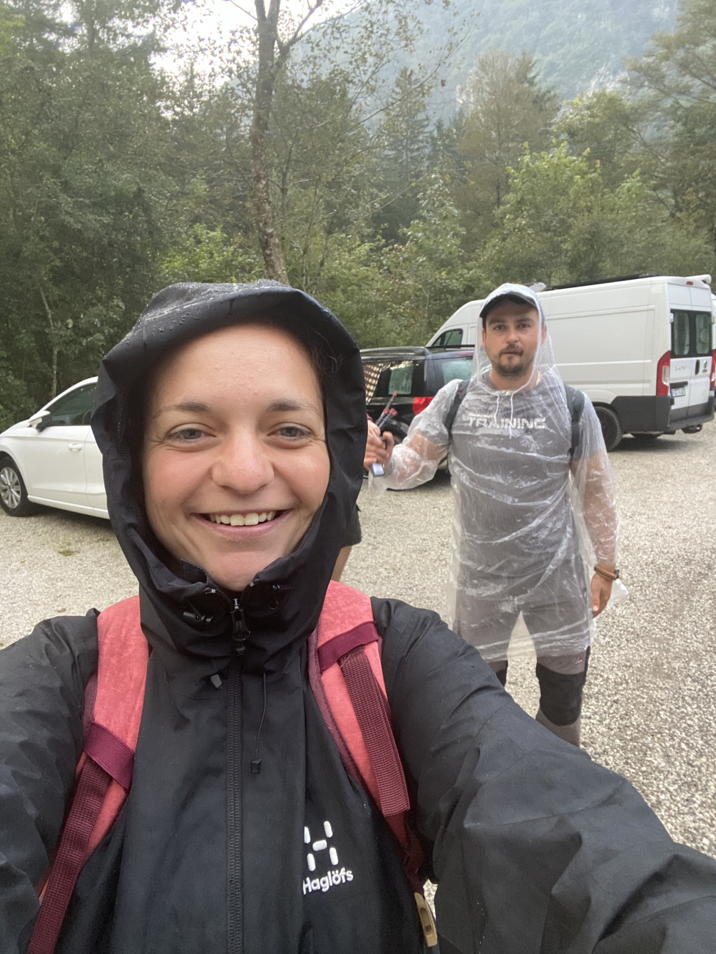
We parked our car near Dom v Kamniški Bistrici and, clad in rain jackets under a steady drizzle, began our trek. About an hour in, the weather eased up slightly, giving us a bit of encouragement. But it was the calm before the storm. Literally.

The Ascent
The first two hours took us through the forest, where the climb was still gentle. But then things started to pick up. The slope steepened, forcing us to lift our feet high and carefully navigate slippery tree roots. After another hour, the forest began to thin, and the trail turned rocky. By the four-hour mark, the trees had disappeared entirely.
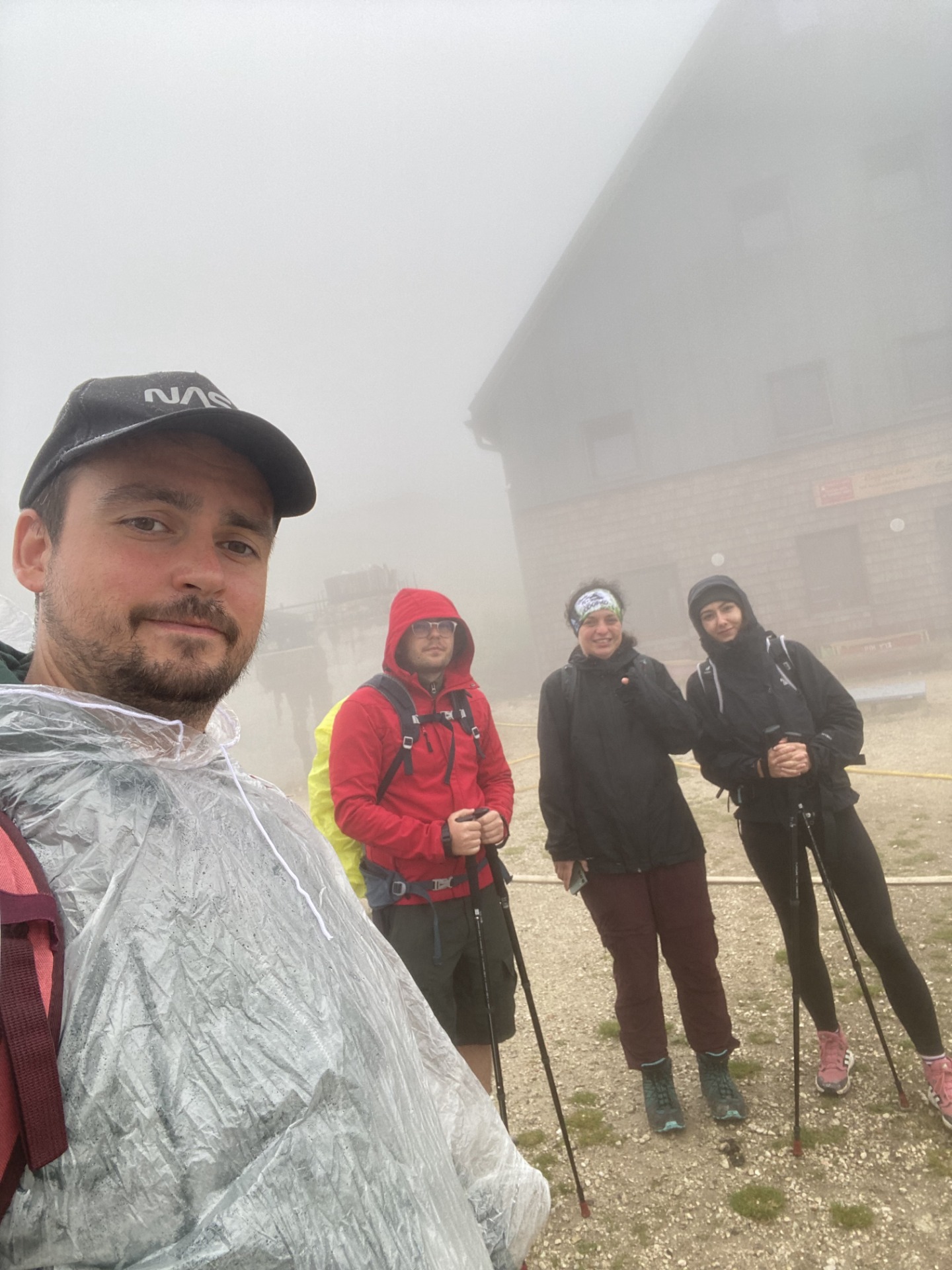
At that point, the weather started closing in again, with light drizzle turning heavier by the minute. Clouds dropped, and suddenly we were engulfed in an impenetrable fog — visibility was no more than three meters.
Mirka and I were slightly ahead of the group. We knew there was a hut roughly halfway along the route, and we needed to reach it as quickly as possible. We wanted to push forward, but we couldn't leave our friends behind. Since we couldn't see each other, all we could do was shout to make sure everyone was still following.
Then the first rumbles of thunder echoed around us. We were right inside the clouds — every lightning strike lit up the entire sky in a blinding flash. The drizzle had turned into full rain, and we continued climbing through the storm for about 30 more minutes until we finally reached the long-awaited hut.
Útočisko v Cojzovej koči
Chata bola plná ľudí, ktorí sa schovávali pred počasím. Mokré veci sme si rozložili pri krbe, zahrali spoločenské hry a popíjali čaj s rumom.
Po približne hodine sa počasie začalo zlepšovať a chata sa pomaly vyprázdňovala. Niektorí turisti sa rozhodli zísť dole, iní pokračovali na vrchol.
Naša skupinka sa rozdelila – kamaráti sa vydali späť do údolia a ja s Mirkou sme sa rozhodli pokračovať na vrchol. Cesta bola neúprosná. Asi hodinu sme stúpali po cestičke, až kým sa nevytratila aj posledná tráva. Ostal len štrk a kamene, ktoré sa zdali nekonečné.
Vrchol sme dosiahli po ďalších dvoch hodinách, štyroch energetických tyčinkách a dvoch menších nervových zrúteniach. 😅


Reward at the Summit
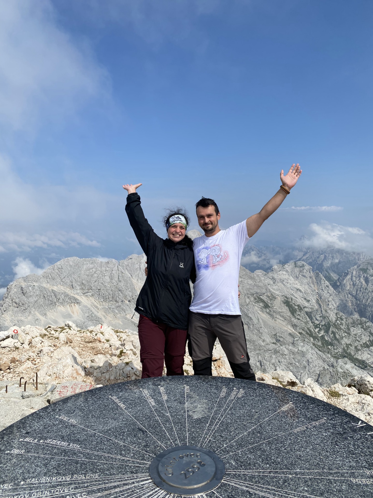
The view that greeted us at the top was one of the most breathtaking we've ever experienced. The clouds cleared, revealing an endless panorama of the Kamnik–Savinja Alps stretching out before us.
On the way down, our knees were trembling, we stumbled several times, and even got briefly lost once. Despite all the challenges, we made it.
This hike left us with unforgettable memories, a deep sense of humility, and immense respect for the mountains.
